


"A geographic information system (GIS) is a computer-based tool for mapping and
analyzing things that exist and events that happen on earth.
GIS technology integrates common database operations such as query and statistical analysis with the unique
visualization and geographic analysis benefits offered by maps."
ESRI GIS LOUNGE
GIS is a computer-based data collection, input, storage, analysis, and cartographic visualization technology that integrates data from diverse sources into a geographic database. Typical data sources include existing maps, aerial photographs, satellite imagery, text files, statistical data, and in situ measurements (e.g. water quality monitoring in the field).
What is now the GIS field began in 1960, with the discovery that maps could be programmed and stored in the computer allowing for necessary future changes. This technology replaced the era of hand cartography, where even small changes meant the map would have to be completely re-drawn. What Can GIS Do?- GIS is a tool that allows water quality experts and interested public members to:
- Explore and organize water quality data and information
- Comprehend complex geographic relationships
- Present data in an understandable manner
- Enhance the analysis of available options
- Streamline the decision-making process
- Make more informed decisions
- Plan for the future based on an accurate digital picture of the past and present
- Effectively communicate with citizens
- An important characteristic of a GIS is that it retains the geographic location or spatial integrity of real world features. Spatial (geographic) information is special because:
- It is a representation of an infinitely complex earth
- It is multi-dimensional, i.e., it includes data about time and location as it applies to the earth
- Almost all human activities and decisions involve a geographic component
- It is essential to watershed analysis
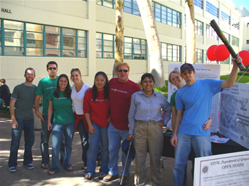
Winning Team 1, at San Diego State University
Geography Department's GPS Treasure Hunt
 Those wishing to pursue careers in professions involving GIS applications need look no
further than the universities and colleges in San Diego County, one of the core areas of GIS education and
research in the United States. Foremost among the GIS programs in the local area are the geographic
information science curricula offered by the Department of Geography at San Diego State University
(http://geography.sdsu.edu/index.html).
Geospatial Job Information (from ESRI.com)
Those wishing to pursue careers in professions involving GIS applications need look no
further than the universities and colleges in San Diego County, one of the core areas of GIS education and
research in the United States. Foremost among the GIS programs in the local area are the geographic
information science curricula offered by the Department of Geography at San Diego State University
(http://geography.sdsu.edu/index.html).
Geospatial Job Information (from ESRI.com)
GIS Careers typically include positions such as:
GIS jobs range from part-time posts in small towns to full-time posts in large cities, so the average salary varies widely. The salary range is typically between $31,387 for an entry level GIS analyst to $83,333 for a GIS supervisor.