USING GIS
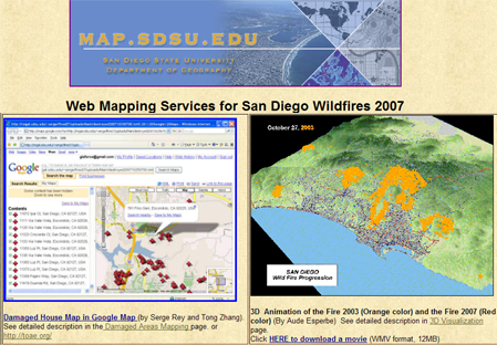
Web Mapping Services for San Diego Wildfires 2007
(http://map.sdsu.edu/)
(http://map.sdsu.edu/)
Many kinds of information about San Diego 2007 wildfires can be found in this website, including damaged areas mapping, 3D visualization
and animation maps, and references of how gis can help us fight wildfires.
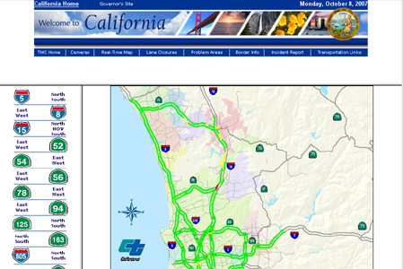
San Diego Real-Time Traffic (CalTrans)
(http://www.dot.ca.gov/dist11/d11tmc/sdmap/showmap.html)
(http://www.dot.ca.gov/dist11/d11tmc/sdmap/showmap.html)
Online interactive map viewer of San Diego Area real time traffic. Current freeway speed report. Automatic updated.
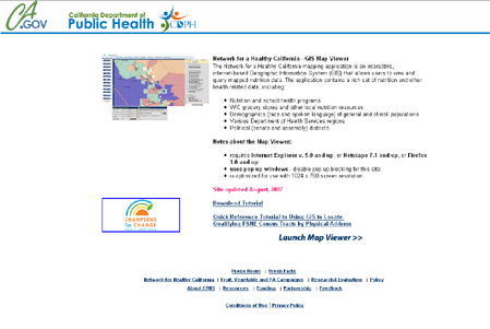
CDHS: California Nutrition Network - GIS Map Viewer
(http://www.cnngis.org/)
(http://www.cnngis.org/)
The Network for a Healthy California mapping application is an interactive, internet-based Geographic Information System (GIS) that allows users to view and query mapped nutrition data.
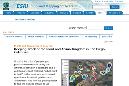
ESRI: Plants and Animals Need GIS, Too
(http://www.esri.com/news/arcnews/fall03articles/keeping-track.html)
(http://www.esri.com/news/arcnews/fall03articles/keeping-track.html)
Keeping Track of the Plant and Animal Kingdom in San Diego, California.
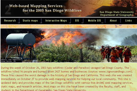
2003 San Diego Wildfires
(http://map.sdsu.edu/fireweb/)
(http://map.sdsu.edu/fireweb/)
Web-based mapping services utilize Mobile GIS with GPS for the 2003 San Diego Wildfires.
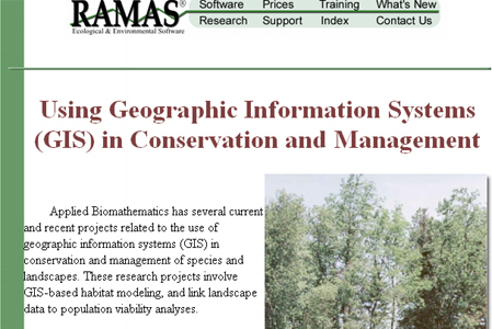
Using GIS in Conservation and Management
(http://www.ramas.com/consgis.htm)
(http://www.ramas.com/consgis.htm)
Some projects related to the use of GIS in conservation and management of species and landscapes.
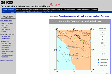
USGS Earthquake Hazards Program - Northern California
(http://quake.usgs.gov/recenteqs/latest.htm)
(http://quake.usgs.gov/recenteqs/latest.htm)
An interactive map of recent earthquakes in California-Nevada.