

GIS are Everywhere!
Geographic Information Systems (GIS) are
technological tools to collect, store, query, analyze, and visualize
spatially-associated data and information.
Global Positioning Systems (GPS) technology, vehicle navigation
technology, online maps like
Mapquest and Google Maps,
and virtual globe software applications like
Google Earth and
NASA World Wind are
specific applications of GIS technology. Many people are familiar
with these cutting-edge applications. However, they might not
realize that they are using GIS and related geospatial technologies
everyday.
GIS can be used to solve both Science Questions
and Practical Problems!
Science Questions (Scientific Theories &
Methods):
• How do Earthquakes happen?
(Related
link: BBC Earthquakes )
• How do Wildfires occur?
(Related
link: NASA Natural Hazards:Fires)
• What are the main reasons for global warming?
(Related
link: NRDC Global Warming)
Practical Problems:
• How can we response to wildfires disasters more
efficiently?(Related link:
2003 San Diego Wildfires )
• How can we minimize damage caused by Earthquakes in California?(
Related link: USGS Earthquake Hazards Program -
Northern California)
• Where are the invasive plant species in San Diego? (Related
link: ESRI Plants and Animals Need GIS, Too)
• Where can I find out the location of licensed healthcare
facilities near by my house? (Related
link: CDHS California Nutrition Network - GIS Map
Viewer)
Learn more about GIS...
The GIS Career & Education Awareness website is dedicated to the education of future GIS professionals and increasing general awareness of GIS technology. To achieve the goals of educating GIS professionals and increasing GIS awareness this website has compiled resources explaining what GIS is and how it can be used, designed online tools that showcase GIS related tasks, provided links to GIS programs and educational resources, and created a certification program using GIS learning modules via the web.
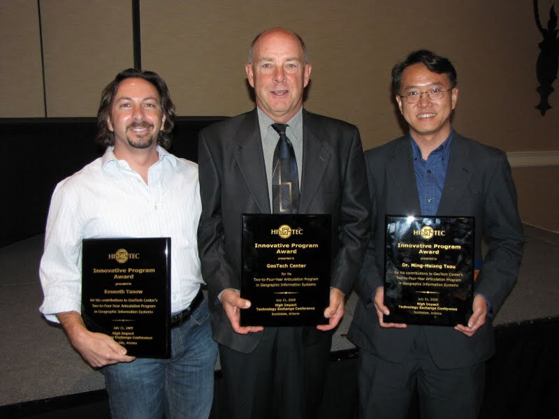
This website is supported by the National GeoTech (NSF-ATE DUE #0801893) Center and Scalable Skills Certification Program in GIS (NSF-ATE DUE #0401990).
Website Contact
Dr. Ming-Hsiang(Ming) Tsou
San Diego State University
Geography Department
5500 Campanile Drive
San Diego, CA 92182-4493
PHONE: 1 (619) 594 0205