| Discourse Maps
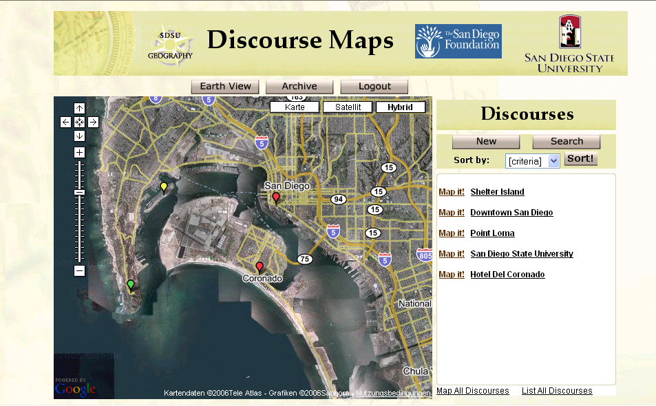
The purpose of Discourse Maps is to help facilitate professional discussions about water quality and related issues using both text and maps. Currently, electronic discussions involving multiple participants are led in an unstructured way using e-mail. E-mail postings covering multiple issues over an extended period of time are hard to follow and difficult to synthesize. Discussions related to water quality issues are often related to geographical objects, for example locations of sampling stations. Discourse Maps tool will utilize the geographic nature of water quality-related conversations allowing users to post both on a map and in textual dialog window, query, view and discuss issues related to water quality in the San Diego Bay watershed. The functionalities will include the capability to search an e-discussion by subject, author or date. User will be able to classify various types of discussion contributions including a new discussion topic, question, and comment. The users will also be able to put their comments on the map by selecting a location related to the comment (e.g. a sampling location) or providing the address describing the location (e.g. the address of chemical spill). The prototype of Discourse Maps will be available on the Common Ground web site in May 2006.
|