I'm trying to develop a flash websites with latest features.
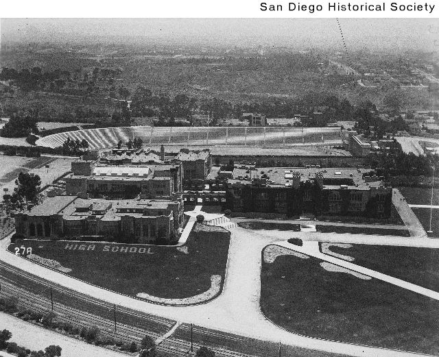
Balboa Stadium was built in 1914 along side many of the other structures built to serve the purpose of the Panama-California Expostition centered around Balboa Park. It was orginally called City Stadium and was the largest on the west coast at the time. On September 19, 1919 President Woodrow Wilson spoke in front of 50,000 people in support of his idea for the League of Nations it was the first presidential speech to use an "electronic voice amplification
system". The stadium was used for many different events such as midget auto racing (small cars), the games of the AFC Chargers from 1961-1966, and held concerts until the 70s. The Beatles, The Doors, Jefferson Airplane, and Jimmy Hendrix have all performed there.
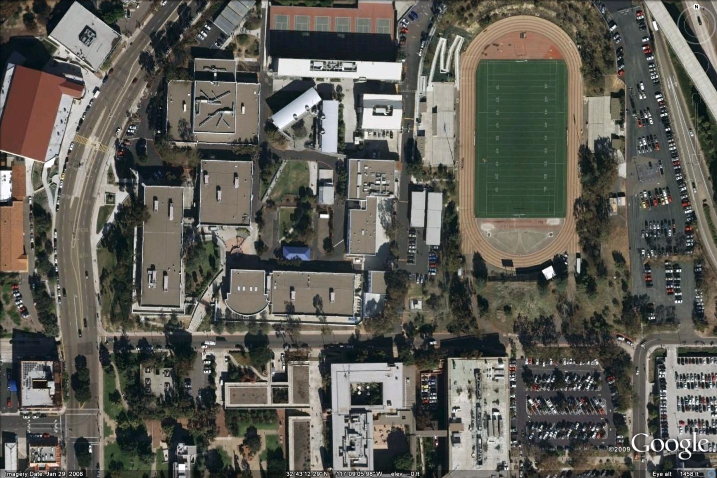
Today the stadium is unlike what it had been in its historic glory. Much of the old, unique architectural features were torn down and simple concrete benches are inplace. The stadium now serves San Diego High School's sporting events.
This is a Sanborn Fire Insurance map from 1920:
(please use your mouse and the controls at the bottom right to pan/zoom around the map)
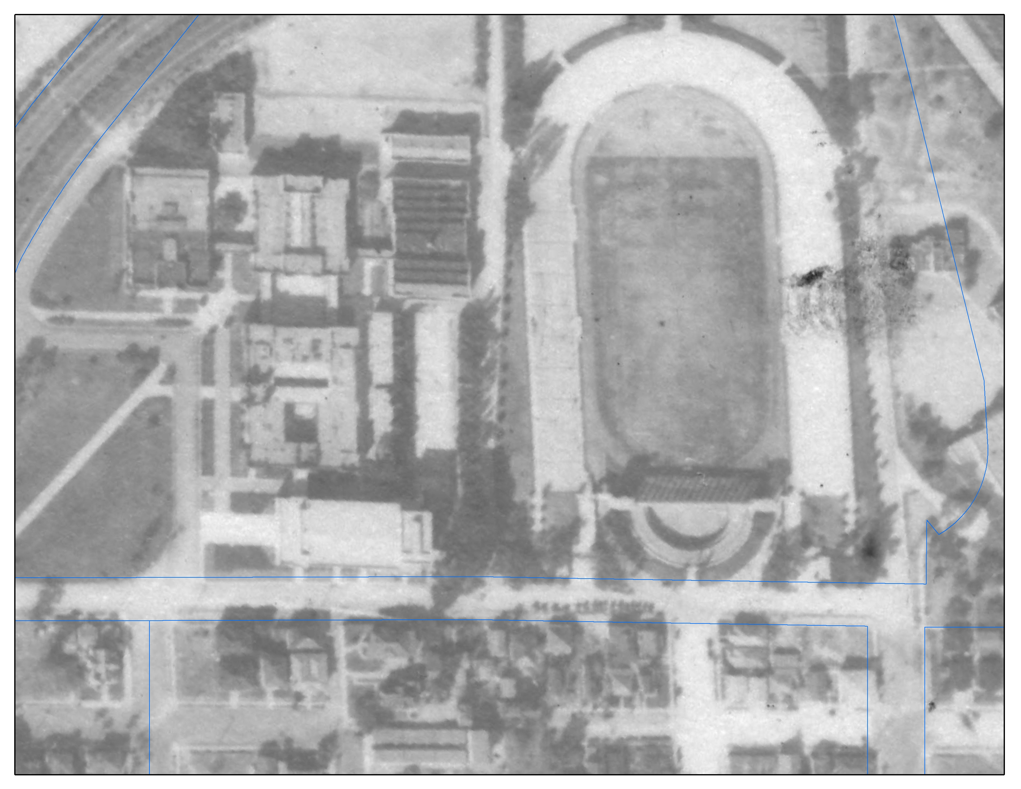
This 1928 aerial photo depicts the same area as the Sanborn above:
(the blue lines in the photo show current property lines)